Whangārei Active Transport Wayfinding Network
Objective
Client
Location
Deliverable
Timeframe
Project Status
Background
With Whangārei's active transport network only partially complete and wayfinding signage installed on selected routes, our team was engaged to develop a consistent, network-wide approach to help people navigate the city's walking and cycling connections.
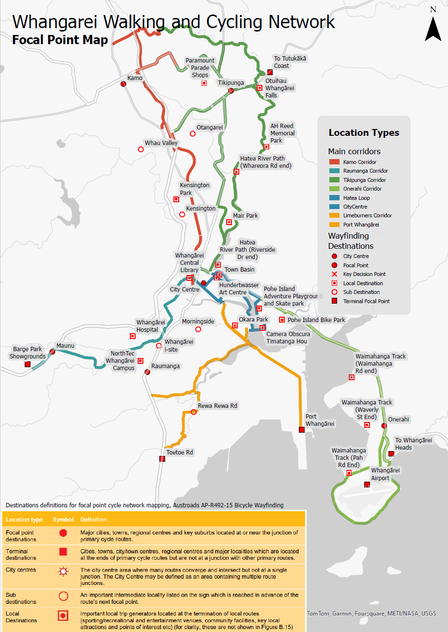
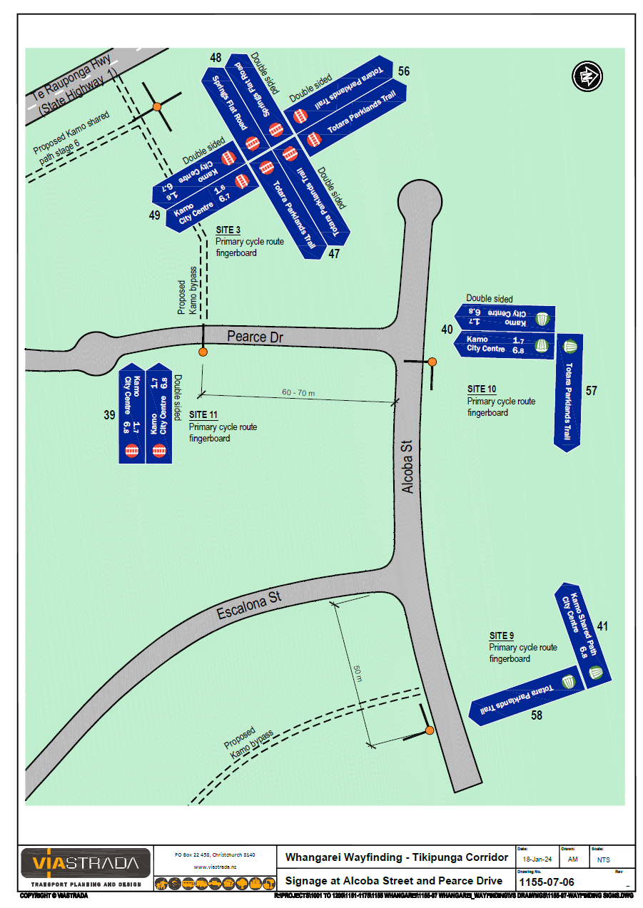
Drawing on active transport wayfinding best practices, we reviewed the existing signage network and worked with Whangārei District Council and Northland Transportation Alliance to identify key destinations and sign locations across the network. Using a GIS-based approach, we mapped advance, intersection and confirmation signage locations, calculated destination distances, and developed comprehensive sign schedules and implementation plans.
The project delivered a clear, scalable wayfinding framework that will support a more connected, intuitive and user-friendly walking and cycling network for Whangārei.