Our team provides bus route planning assisted by GIS analysis and associated economic assessment. We analyse current usage by interrogating databases, including Bee Card boarding data or those held by operators. This is a valuable basis for evidence-based improvements.
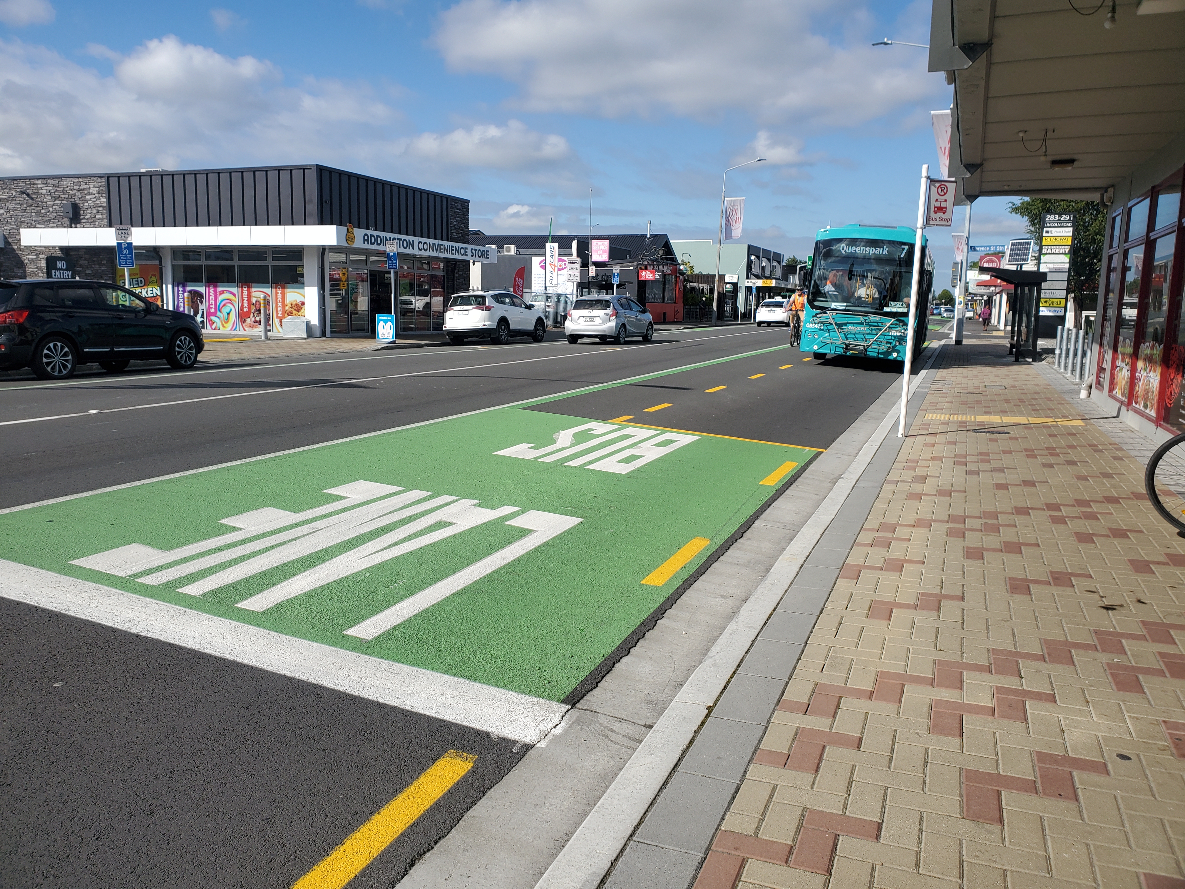
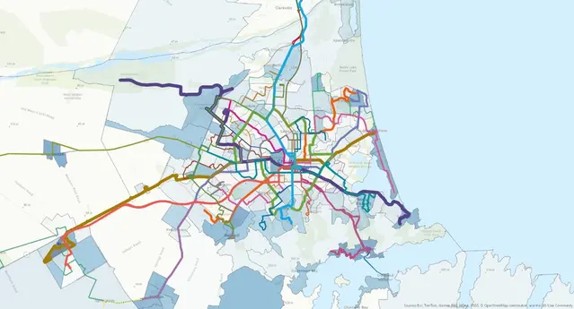
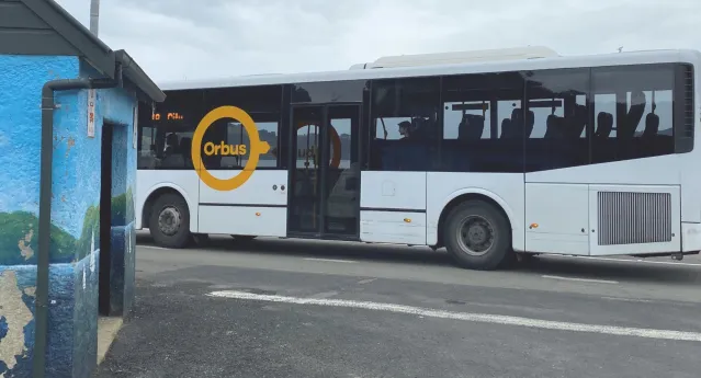
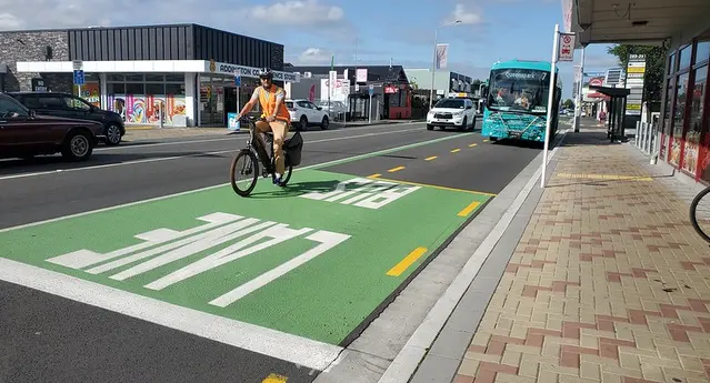
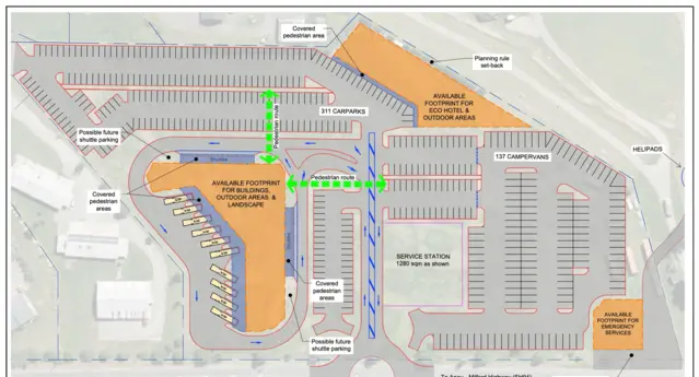
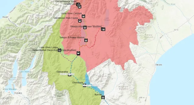
Public transport planning
Relevant Projects
Otago Regional Council Bus Stop Audits
ViaStrada completed a safety, accessibility and condition audit of over 800 bus stops for Otago Regional Council and Dunedin City Council. We managed a team of student surveyors and set up a mobile phone-based GIS tool to acquire the data. The resulting information is formatted to align with New Zealand Transport Agency’s Public Transport Design Guide (PTDG) and will be used to prioritise real-time electronic signage and inform future investment decision-making.
Key Contact: John LieswynQueenspark bus priority, Christchurch
Christchurch City Council has ambitious plans for bus priority. In 2006 ViaStrada (Traffix) was engaged to design bus priority measures for the #70 Queenspark corridor (Gloucester Street, Fitzgerald Avenue, Whitmore Street, Hills Road, Shirley Road, New Brighton Road, Bower Avenue, Queenspark Drive and Broadhaven Avenue).
Key Contact: Axel Downard-Wilke