Aoraki Mt Cook Transportation Plan
Objective
Client
Location
Deliverable
Timeframe
Project Status
Background
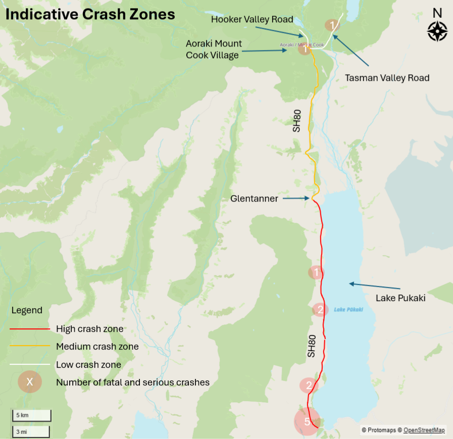
ViaStrada undertook a strategic transport planning study for the Department of Conservation to address visitor congestion, parking demand, road safety, and access management challenges at Aoraki Mount Cook National Park. The project assessed transport conditions across the wider visitor network, including SH80, the Village, White Horse Hill and Tasman Valley, and developed a staged programme of interventions to improve visitor experience while protecting environmental and infrastructure capacity.
The work combined site investigations, stakeholder engagement, parking and transport analysis, GIS mapping, safety assessments, and review of national and international best practice. ViaStrada developed a recommended foundation package of improvements alongside alternative long-term options including parking optimisation, visitor demand management, access controls, and park-and-ride solutions. The study provided DOC with a strategic framework for managing future growth while balancing transport efficiency, safety, visitor experience, and conservation outcomes.