Whakatāne Wayfinding signage plan
Objective
Client
Location
Deliverable
Timeframe
Project Status
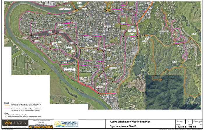
Background
Whakatāne District Council asked ViaStrada to provide a wayfinding signage plan for Whakatāne District's walking and cycling network. Its focus: how can we help people (and visitors) navigate their community?
Walking and cycling routes provide the safest, most pleasant, and often most efficient travel to who walk or cycle. But not everyone is always aware of the nearest walking and cycling routes. This leads people to unsafe and unpleasant travel experiences, often navigating using phones. Clear signage at the right location can therefore make all the difference in people’s walking and cycling journeys.
We advised on the position of signs and which information should they provide. This resulted in over 80 bollards on a dozen routes and trails to guide people from all directions. Bollards include distances to the next and final destination of each route and also provide path user behaviour information. The plan was developed in concert with Bike Whakatane Trust members to ensure that local knowledge was included.
The first $50,000 stage of the project will see more than half of the signs installed to help guide the people of Whakatāne and visitors through their community.