Developing a GIS for railway operators
Where presented / published:
Tanja's master thesis, University of Kassel, Germany, 2025
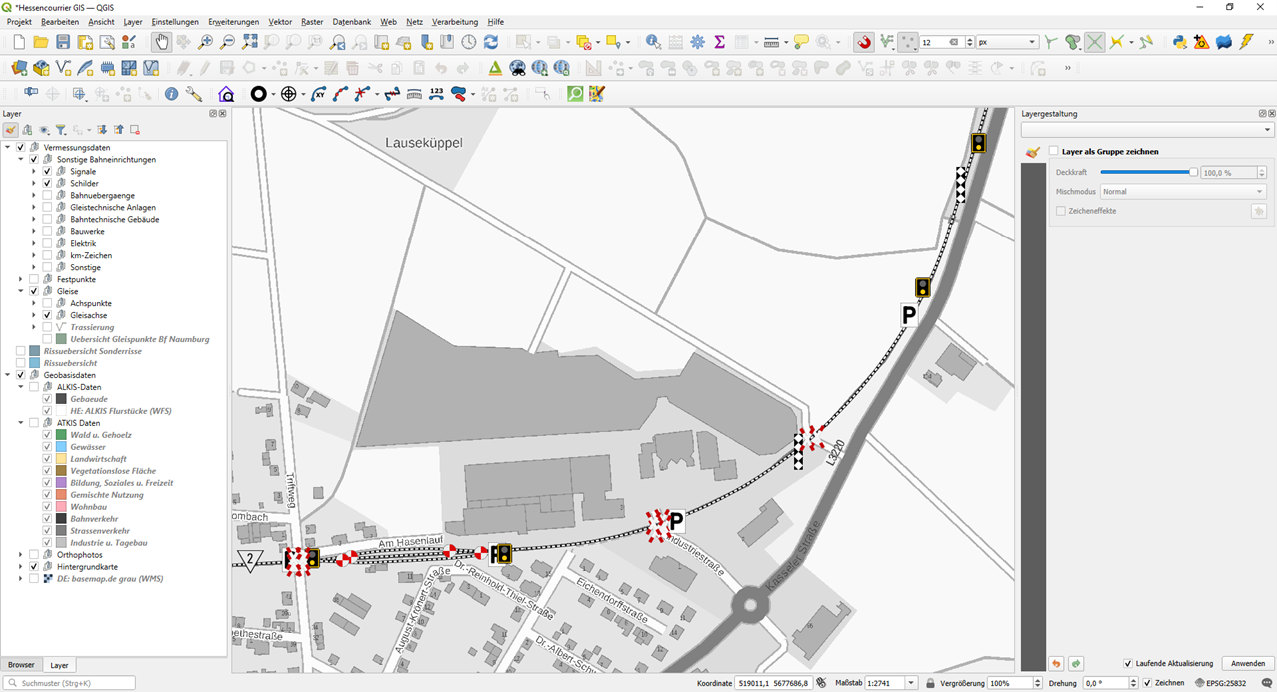
Accurate data is essential for the maintenance of railway tracks and infrastructure. A geographic information system (GIS) containing all relevant information can help railway operators plan and carry out maintenance measures. Such a GIS was created for a historic railway line in Germany as part of Tanja’s master thesis.
Using survey data for the tracks and other infrastructure, the developed GIS contains all relevant data and visualises the features in a way that they are easy to identify on a map. Photos and survey drawings and geospatial base data support the data. The result is an interactive map which contains all relevant data, survey drawings and photos.