SH2 Napier Marine Parade intersection improvements
Objective
Client
Location
Deliverable
Timeframe
Project Status
Background
ViaStrada was requested by Napier City Council to briefly investigate and assess potential options for upgrading the SH2 intersection of Marine Parade and Ellison Street.
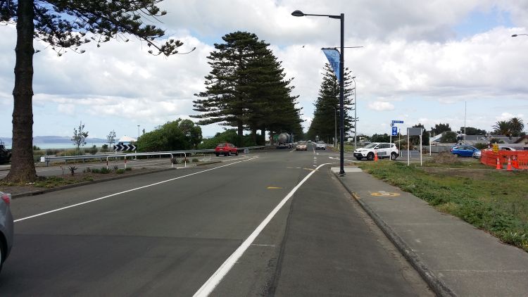
This T-intersection of arterial roads sees State Highway 2 come from the south along Marine Parade and continues to the northwest via Ellison Street and onto Georges Drive. Marine Parade continues to the north towards the central city and Bluff Hill. Immediately west of Marine Parade, Ellison Street crosses the main trunk rail line at grade. Marine Parade provides an important function within Napier, as a route for movement in and out of the town. The residences, motels, hotels and restaurants along the corridor benefit from road access and traffic, but appropriate speeds and volumes are also important for safety and amenity. There has also been concern about heavy vehicles using the route to directly access Napier port.
Following an earlier site visit by Glen Koorey and Axel Wilke, the following tasks were undertaken:
• Review site layout and investigate crash patterns at the intersection (via CAS)
• Brainstorm and sketch potential layout/control options internally, including roundabouts and changed approach priorities
• Assess advantages and disadvantages of options considered
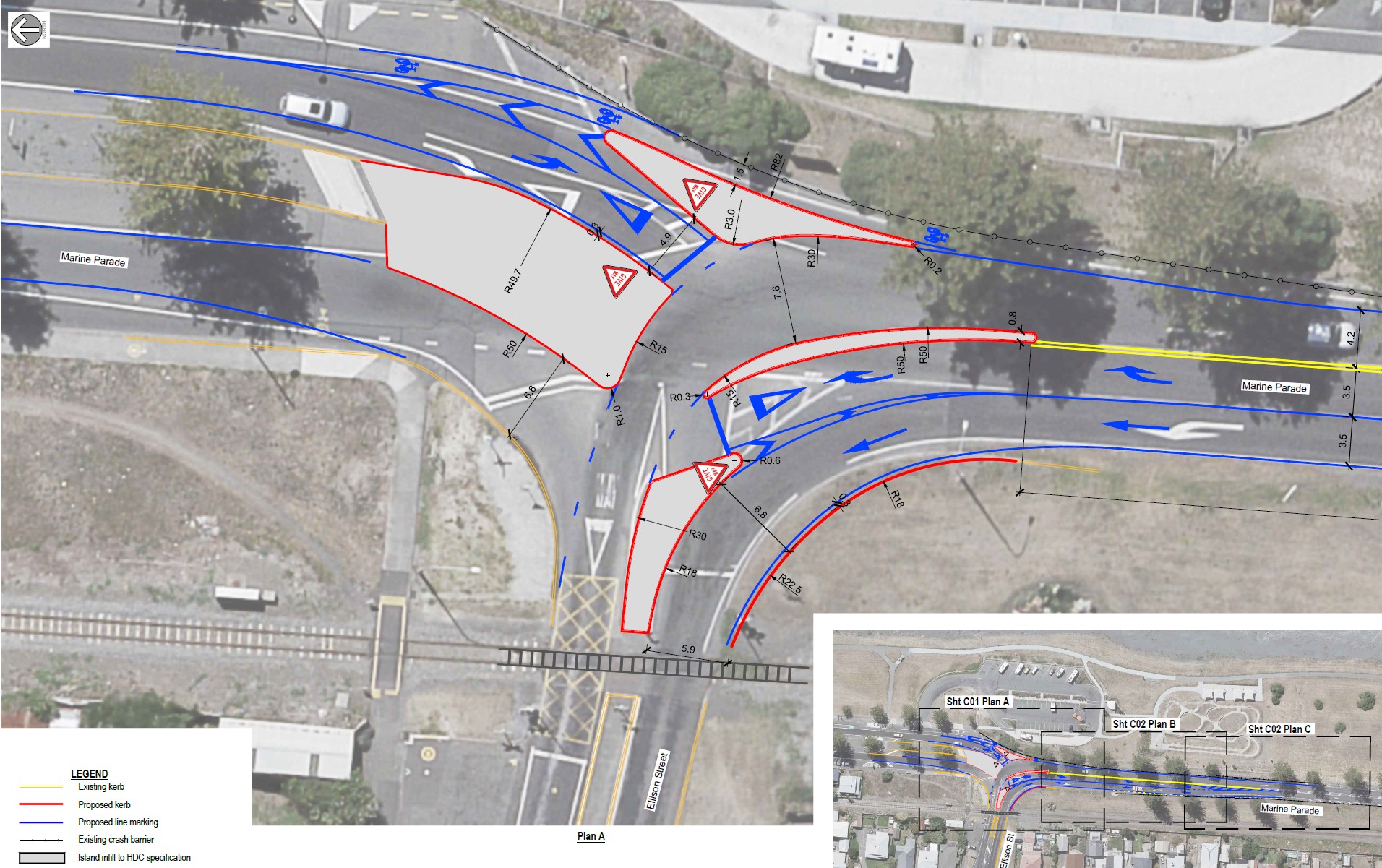
• Identify a recommended option and develop a simple conceptual layout plan
• Prepare a memo outlining the assessment and recommendation.
Subsequent to the draft memo, a 12-hour movement count of the intersection was commissioned to better understand the impact on different travel movements.
The second part of the project was a report further investigating reconfiguring the intersection of State Highway 2 at Marine Parade and Ellison Street in Napier. From modelled Paramics traffic volumes, a SIDRA model was created to estimate likely traffic queuing and delay statistics. Based on these results, a more detailed conceptual layout design plan was prepared.


