

This is just a selection of some of the many projects that ViaStrada has been involved in over the years - click on the filter icon to refine the search by topic areas.
Projects
Filter
New Plymouth Annual Cordon Count
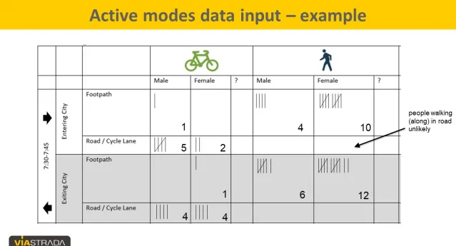
ViaStrada revised New Plymouth's active transport cordon count methodology, and analysed the 2023 data.
Read More
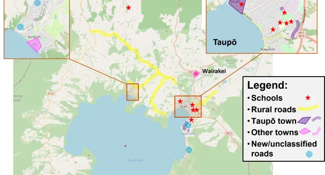
Taupō District Speed Management Plan
ViaStrada was commissioned by Taupō District Council to prepare a Speed Management Plan for their district. The Plan is based on the new Waka Kotahi
…
Read More
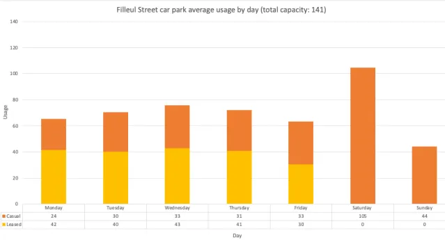
Dunedin parking surveys
Dunedin City Council staff asked ViaStrada to set up and complete a survey of parking demand in the city centre. The aim was to provide a
…
Read More
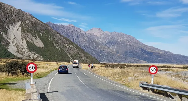
National State Highway Speed Management Panel
Where should speed limits change — and why? ViaStrada helped answer that question as part of NZTA’s national panel reviewing speed limits across key
…
Read More
Dunedin SH1 Barnes Dance Trials
The NZ Transport Agency commissioned ViaStrada to formally trial two "Barnes Dance" shared pedestrian/cycle crossings along SH1 in Dunedin, including
…
Read More

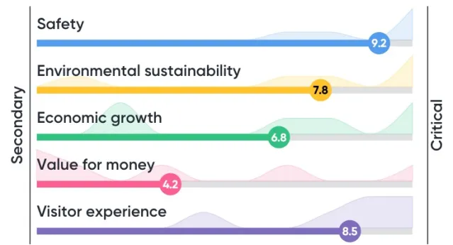
Te Tai Poutini Westland Transport Information
The Department of Conservation commissioned a report and webmap to summarise the transportation context for the Waiau Weheka Westland long term
…
Read More
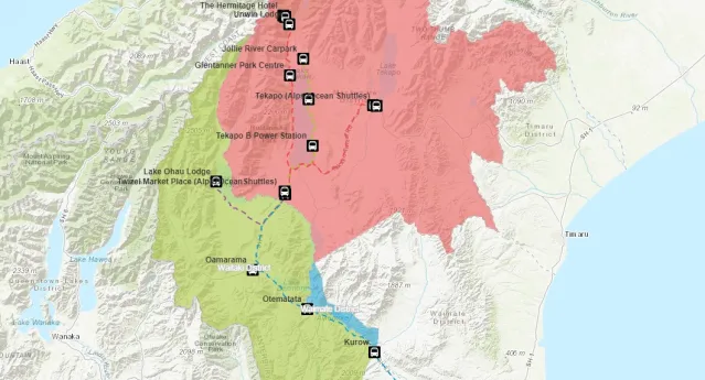
Mackenzie District Visitor Transport Mapping
The Department of Conservation (DOC) commissioned ViaStrada to create a web map application about transport-related content in Mackenzie District,
…
Read More
Ruapehu - Tongariro National Park Transport Gap Analysis
The Department of Conservation (DOC) commissioned ViaStrada to review a range of planning documents and provide advice to inform Visitor Management
…
Read More
NZ Cycle Trail Design Guide
ViaStrada has developed (and subsequently updated) a comprehensive design guide for trail designers and project developers. The updated design guide
…
Read More
Canterbury Regional Speed Management Plan
ViaStrada was commissioned by Environment Canterbury (ECan), on behalf of the Regional Road Safety Working Group (RRSWG), to undertake different tasks
…
Read More
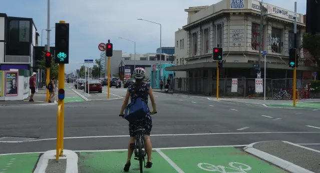
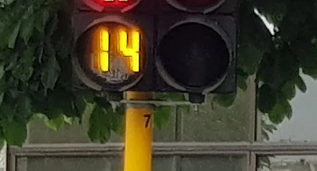
Directional cycle signals trial
A formal Traffic Control Device trial of directional cycle signals has been approved for four locations; two in Christchurch and two in Auckland.
…
Read More
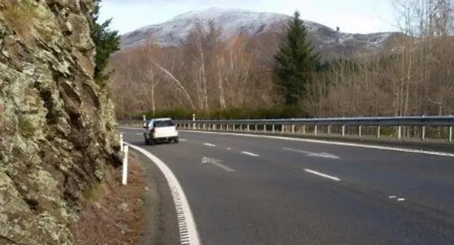
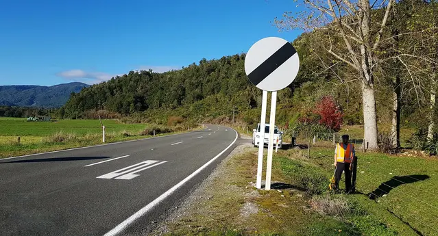
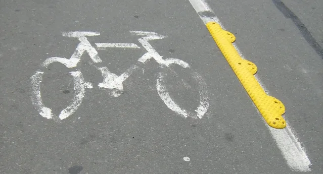
Audio Tactile Profiled (ATP) Markings on rural shoulders
NZTA commissioned ViaStrada to review the corridors in the Safety Boost programme and identify areas where installing (or not) audio-tactile profiled
…
Read More
NSW Fatigue-related rural road crashes & solutions
Transport for New South Wales commissioned ViaStrada to create a benefit-cost analysis tool that assesses measures that prevent fatigue-related road
…
Read More
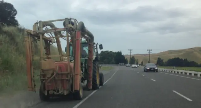
Passing lane and overtaking opportunities
ViaStrada has been engaged to assess the recommendations of the previous studies and identify any additional locations where it may be possible to
…
Read More
Cycle lane separators
ViaStrada was commissioned by VicRoads (the state roading authority of Victoria, Australia) to undertake research on physical bicycle lane separators.
…
Read More
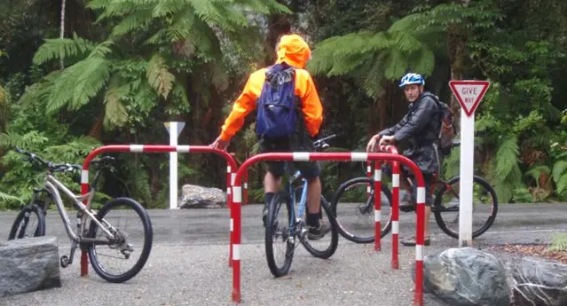
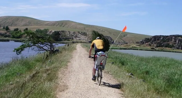
Glacier pedestrian and cycle access – safety audit
ViaStrada was engaged by DOC to carry out a post construction safety audit of the shared walking and cycle tracks to Franz Josef and Fox glaciers.
Read More
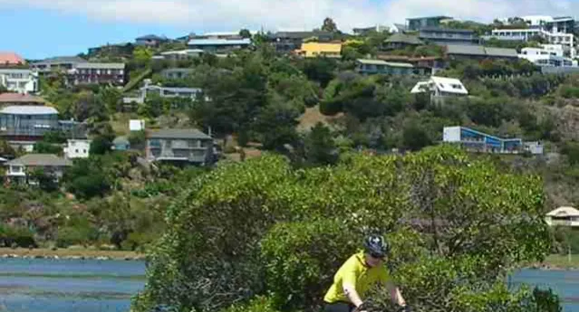
Williams Street pedestrian count
ViaStrada was commissioned by Waimakariri District Council (WDC) to investigate and quantify the pedestrian activity at five locations on Williams
…
Read More
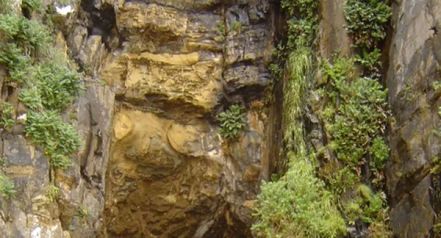
The Catlins, Cathedral Caves access road safety review
ViaStrada was commissioned by the Tautuku Trust to assess the current access road to the Cathedral Caves. The caves are in an isolated location
…
Read More
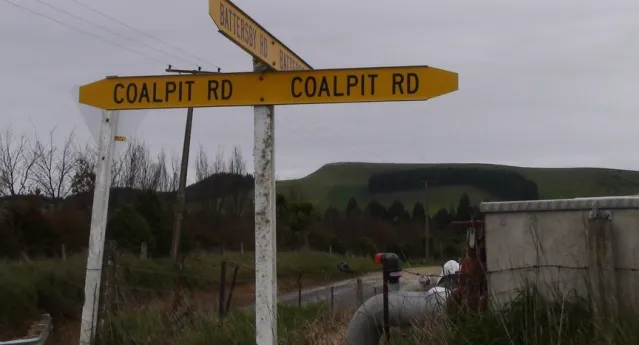
Waitaki District Council safety audits
ViaStrada was commissioned to undertake a series of post construction safety audits for Waitaki District Council. Three audits were carried out: two
…
Read More
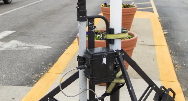
Christchurch automatic cycle counting programme
Andrew, Jeanette and Megan have developed an automatic cycle counting programme for Christchurch City Council (CCC). The project identifies
…
Read More
Banks Peninsula data collection
The Christchurch City Council now has a record of all the markings and signs on the Peninsula. All traffic control devices requiring a Council
…
Read More